Back to sights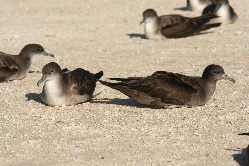
sights
Capricornia Cays National Park
Overview
Capricornia Cays National Park is a national park that comprises a couple of islands in the Great Barrier Reef. As it is a part of the GBR, it is a UNESCO World Heritage Site.
Wikivoyage guide · 8 sections
▸Introduction175 chars
Capricornia Cays National Park is a national park that comprises a couple of islands in the Great Barrier Reef. As it is a part of the GBR, it is a UNESCO World Heritage Site.
▸Visitor information centre126 chars
1 Heron Island Information Centre. The main visitor centre of this island located near Heron Island Resort. (updated Jan 2022)
▸Get in328 chars
The only way to get in the national park is via charter boat or by plane, with one of these following operators. Most boats depart from Gladstone, Bundaberg, or 1770.
Heron Island has regular ferries from Gladstone that departs at 9:30AM every morning except on Tuesdays and Thursdays which returns back to Gladstone at 12:30PM.
▸See109 chars
A trip to these islands is never complete without turtle watching. See the Queensland Parks website for more.
▸Do413 chars
Snorkel at one of the many reefs nearby, on whichever island you're on.
There are two walking tracks, North West Island track, a 1.7 km (1.1 mi) (one way) taking 20 minutes and the Lady Musgrave Island track a 1.1 km (0.68 mi) track taking 20 minutes to do.
Boating and fishing are quite popular things to do in these islands but in order to protect the area, you will need to follow these guidelines by the QPWS.
▸Eat126 chars
1 Shearwater Restaurant, see #Sleep. The only restaurant of any kind in Heron Island managed by the resort. (updated Jan 2022)
▸Lodging191 chars
1 Heron Island Resort, toll-free: 1800 875 343. Check-in: 3PM, check-out: 10AM. An upper mid-range style of resort located on Heron Island near a range of reef activities. (updated Jan 2022)
▸Camping625 chars
There are three campgrounds in the park, and all campgrounds need a booking and bookings for camping can be made here.
2 North West Campground. In North West Island, open all year for day use, but camping is only permitted from Easter to Australia Day (updated Jan 2022)
3 Lady Musgrave Campground. You pretty much have the islands and the reefs to your group and is open all year for day use, but camping is only permitted from Easter to Australia Day (updated Jan 2022)
4 Mast Head Island. A campground where you pretty much have a near-whole island to yourself, but only open from Easter to October 14. (updated Jan 2022)
Facts
Rank
—
Coordinates
—
Source
WBP almanac
External sources
Media
From Wikipedia451 words
Introduction
National park in Australia Capricornia Cays National ParkIUCN category II (national park)The Capricornia Cays support a breeding population of over half a million breeding pairs of wedge-tailed shearwatersCapricornia Cays National ParkLocationQueenslandCoordinates23°14′54″S 151°46′41″E / 23.24833°S 151.77806°E / -23.24833; 151.77806Area1.78 km2 (0.69 sq mi)Established1994Governing bodyQueensland Parks and Wildlife ServiceWebsitehttps://parks.qld.gov.au/parks/capricornia-cays Capricornia Cays is both a national park and a scientific national park in Queensland (Australia), located 486 km and 472 km north of the state capital Brisbane respectively. Collectively they comprise 241 ha of coral cays. Popular recreational activities in the park includes bird, whale and turtle watching as well as camping, walking, swimming, boating, snorkelling and diving. Capricornia Cays National Park is noted for its biological diversity, beauty and for provided habitat for a number of endangered plants and animals. In particular the cays are recognised as having the largest breeding population of endangered loggerhead turtles in the South Pacific. Access to the islands via boat is available from Gladstone, Bundaberg and 1770.